-40%
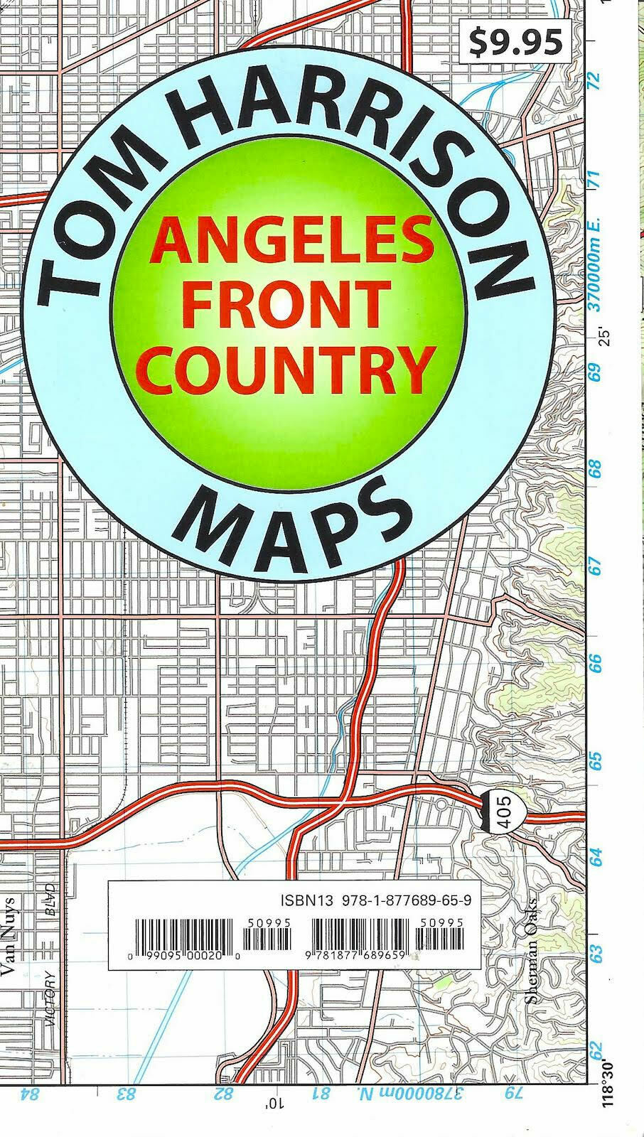
Angeles Front Country, California, by Tom Harrison Maps
$ 5.25
- Description
- Size Guide
Description
Angeles Front Country, California, by Tom Harrison MapsPrinted on tear resistant & waterproof paper!
2013, shaded relief, folded map printed on Waterproof and tear resistant material.
From La Canada to Vasquez Rock. The Pacific Crest Trail comes through here...
In this Map: Chantry Flat Chilao Flat Colby Canyon Condor Peak Eaton Canyon Gabrielino Trail Josephine Peak Mt. Lowe Mt. Wilson Placerita Canyon Strawberry Peak Verdugo Mountains
Contains complete UTM Grid, GPS Compatible. Area accessible via Angeles Crest Highway, just North of Los Angeles, California. Scale :63,360
Map is Brand New, measures 7.25
" x 4.1: folded,
copyright 2013
ISBN
9781877689659


